APLITOP
Aplitop Products
Our solutions allow simple and rigorous control of tunnel works for roads, railways, underground mines and galleries, with total stations or 3D scanners.
TcpTUNNEL |
TcpTUNNEL CAD |
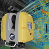
TcpScancyr |
Our solutions allow simple and rigorous control of tunnel works for roads, railways, underground mines and galleries, with total stations or 3D scanners.
TcpTUNNEL |
TcpTUNNEL CAD |
TcpScancyr |

 IP-S3 HD1 IP-S3 HD1 |
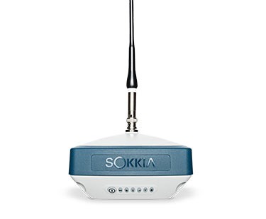
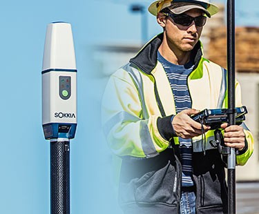 GCX3 GNSS Receiver