HYPACK® is the most widely used hydrographic software package in the world.
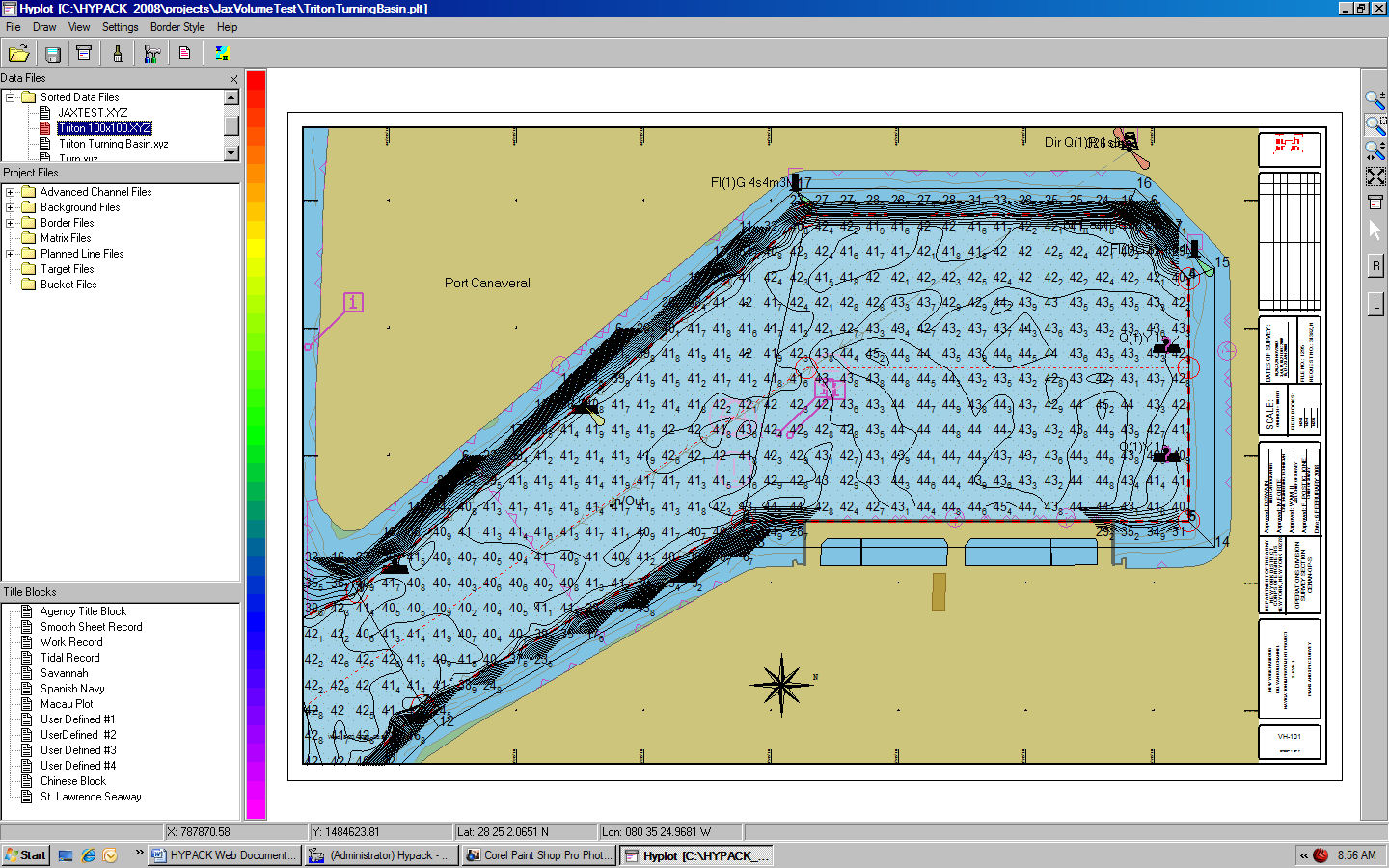
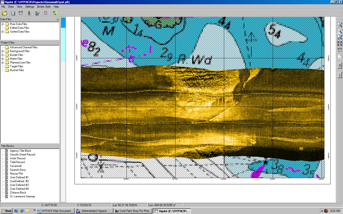
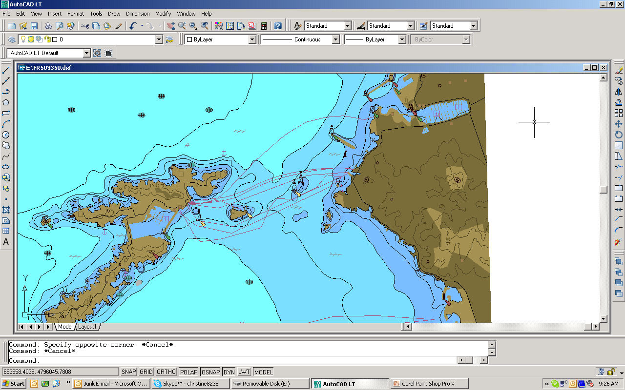
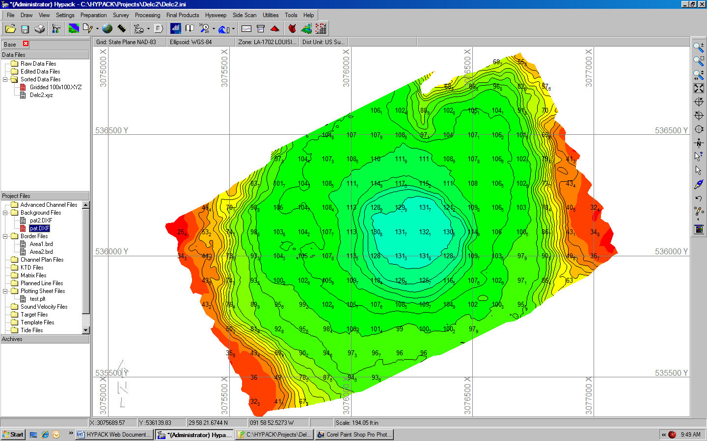
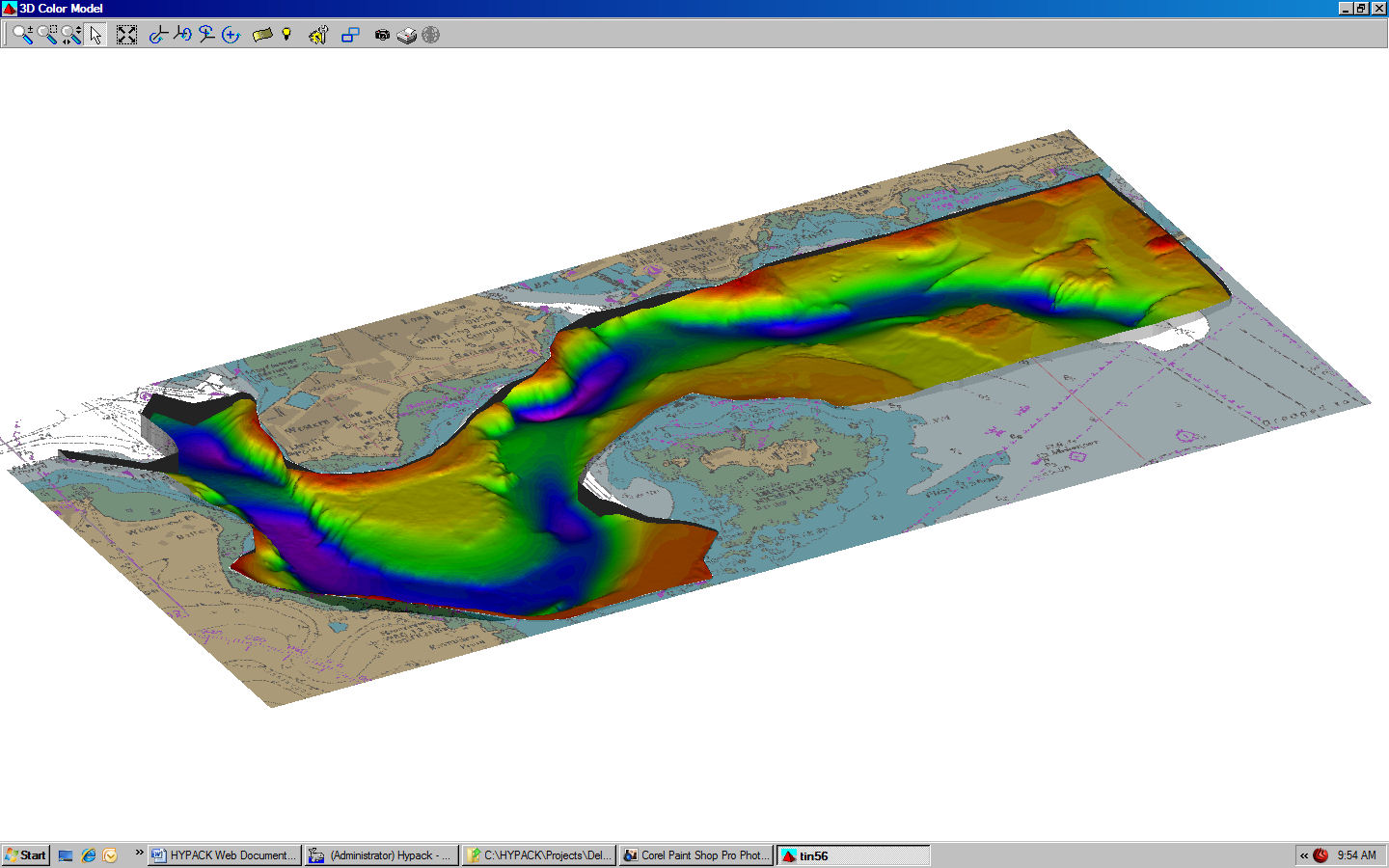
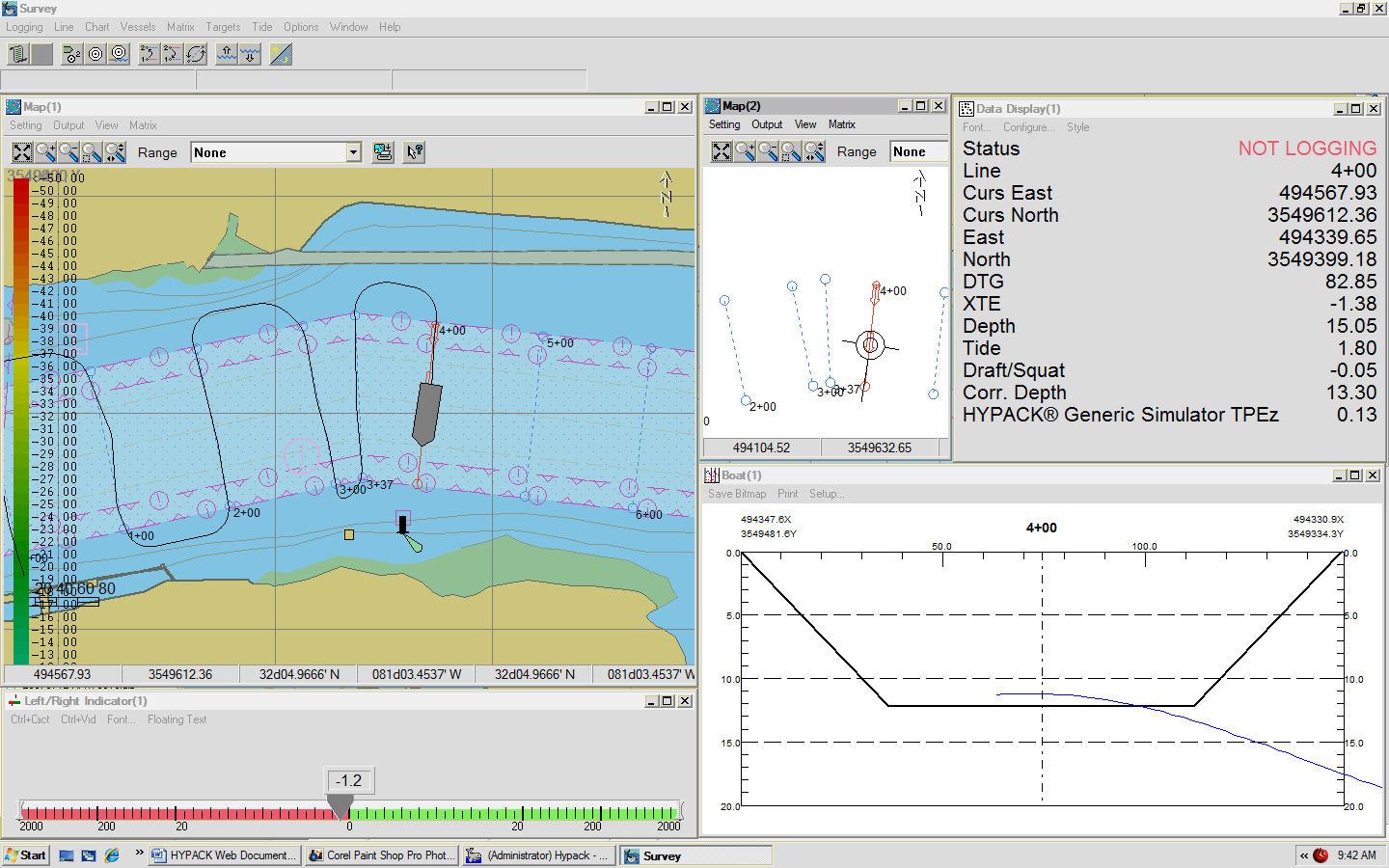
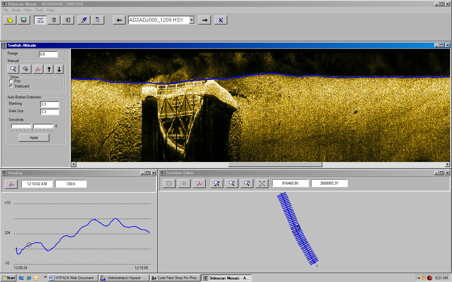
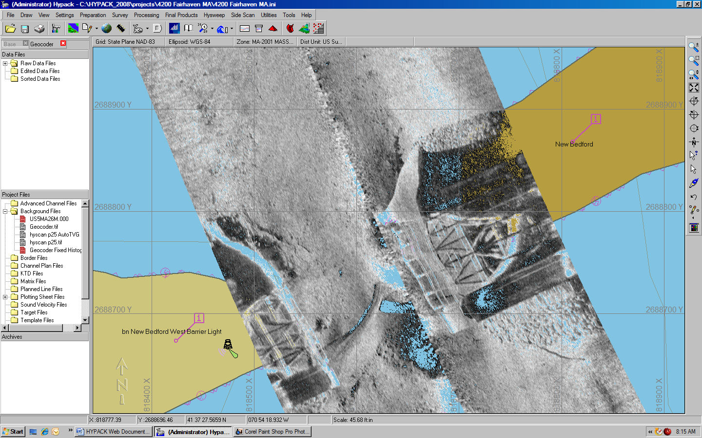
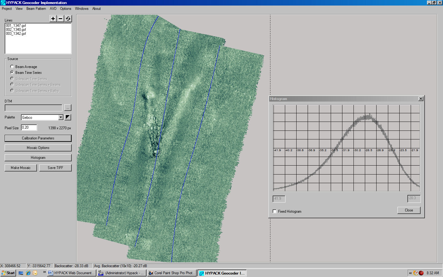
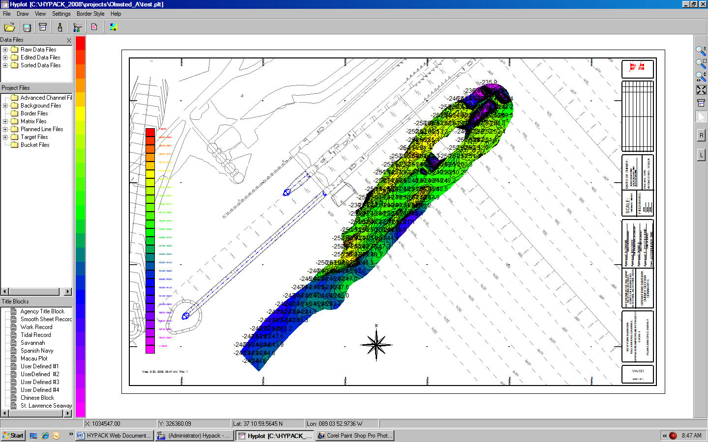
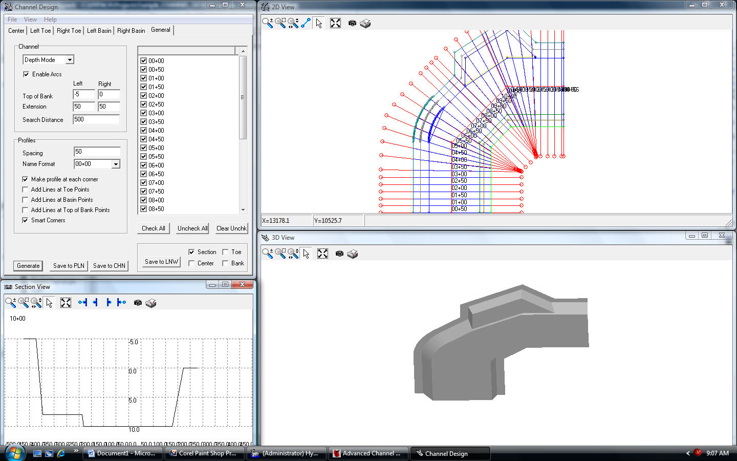
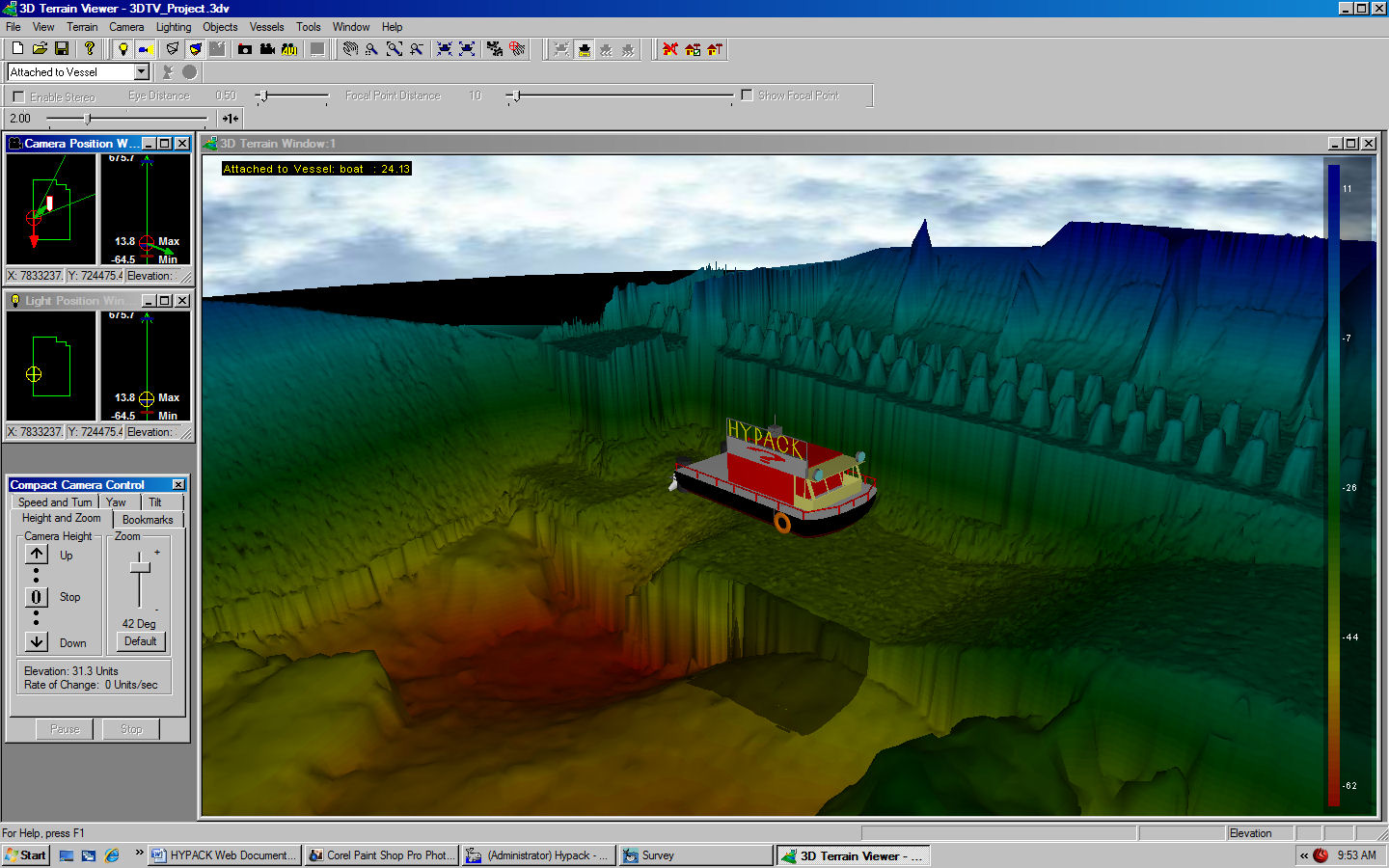
HYPACK® provides all of the tools necessary to complete your hydrographic, side scan and magnetometer survey requirements, with over 4,000 users around the world, HYPACK® provides you with the tools necessary to meet almost any hydrographic survey requirement. It provides tools to design your survey, collect your data, apply corrections to soundings, remove outliers, plot field sheets, export data to CAD, compute volume quantities, generate contours, create side scan mosaics and create/modify electronic charts.
HYPACK®’s capabilities include :
Design | Survey | Editing | Volumes | Side Scan | Plotting | Export to CAD | TIN MODEL | ENC EDITOR.